Advanced technology for global mapping and monitoring
Drone and satellite mapping has revolutionised the way Technology Metals Europe manages our world. Through cutting-edge technology, these systems allow us to explore and monitor vast expanses of the Earth efficiently and accurately, offering a unique perspective from above.
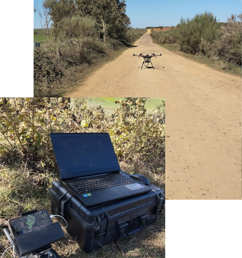
Drones:These small aerial marvels are equipped with high-resolution cameras and specialised sensors that can capture detailed images from low altitudes. They are ideal for mapping smaller, more detailed areas, such as agricultural land. Drones allow us to obtain accurate data in real time and are essential for rapid decision making for prospecting and detecting strategic minerals.
Satellites: Satellites provide a global view of the Earth and are crucial for large-scale monitorin Equipped with advanced remote sensors, satellites can capture images of the entire Earth’s surface and collect continuous data over time. This is essential for the study of climate change, and also natural resource management. In addition, satellite data can be used for topographic mapping, vegetation monitoring, land cover change detection and much more.